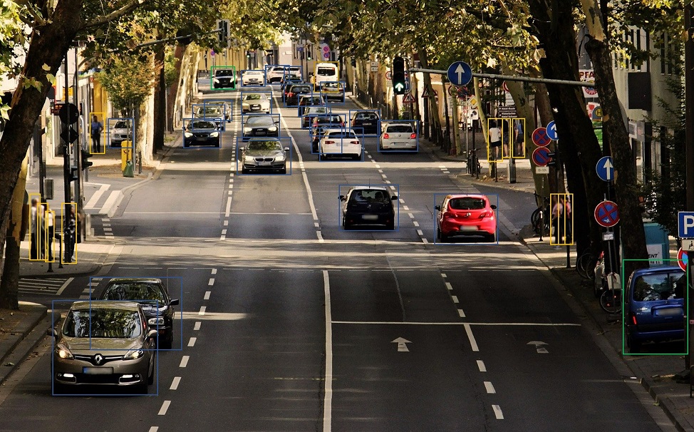
trafficnow has been dedicated to real-time traffic information for more than a decade, and offers the best in roadside detection by combining vehicle tracking systems with data collection and vehicle classification.
Data from all detectors, including both our detectors and other sources can be aggregated in the Virtual Control Center platform. We support completely autonomous, on-premises installations of the platform, ensuring that the clients get full protection of their data.
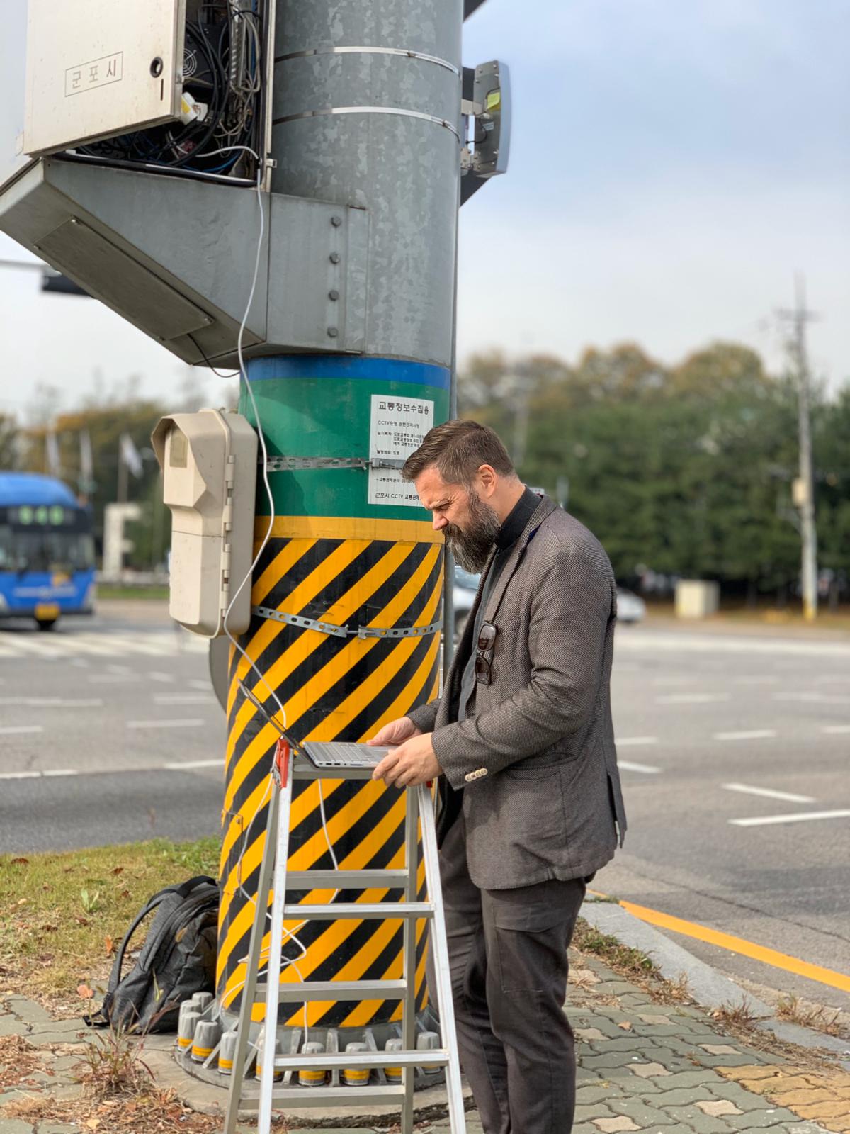
We also assist in ITS in project management and design, as well as offering turn-key solutions involving everything from site analysis to communication and alternative energy sources.
Your favorite business partner in ITS projects.


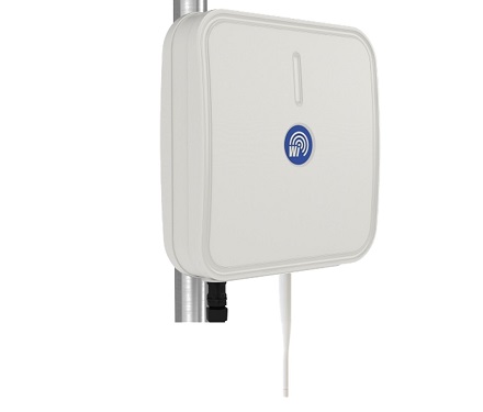
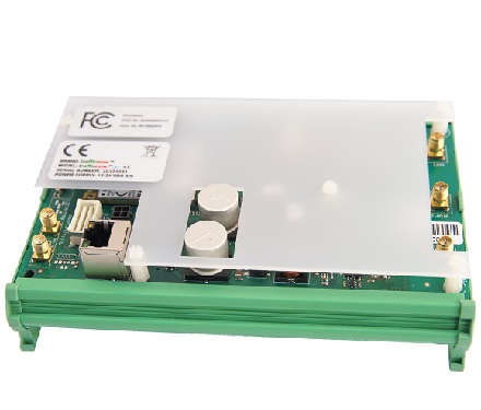
 Video Image AnalyticsBluetooth, BLE & Wi-Fi trackingDeep LearningMobility Detection
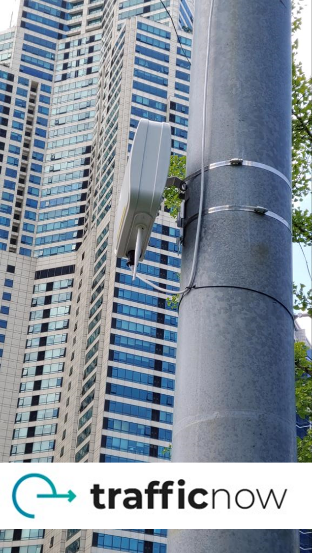
 Turn-key detection platformArtificial IntelligenceMarket-leading technologyInstalled in more than 40 countriesTurn-key detectionArtificial IntelligenceMarket-leading technology
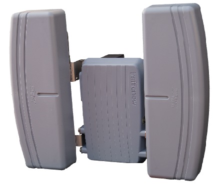
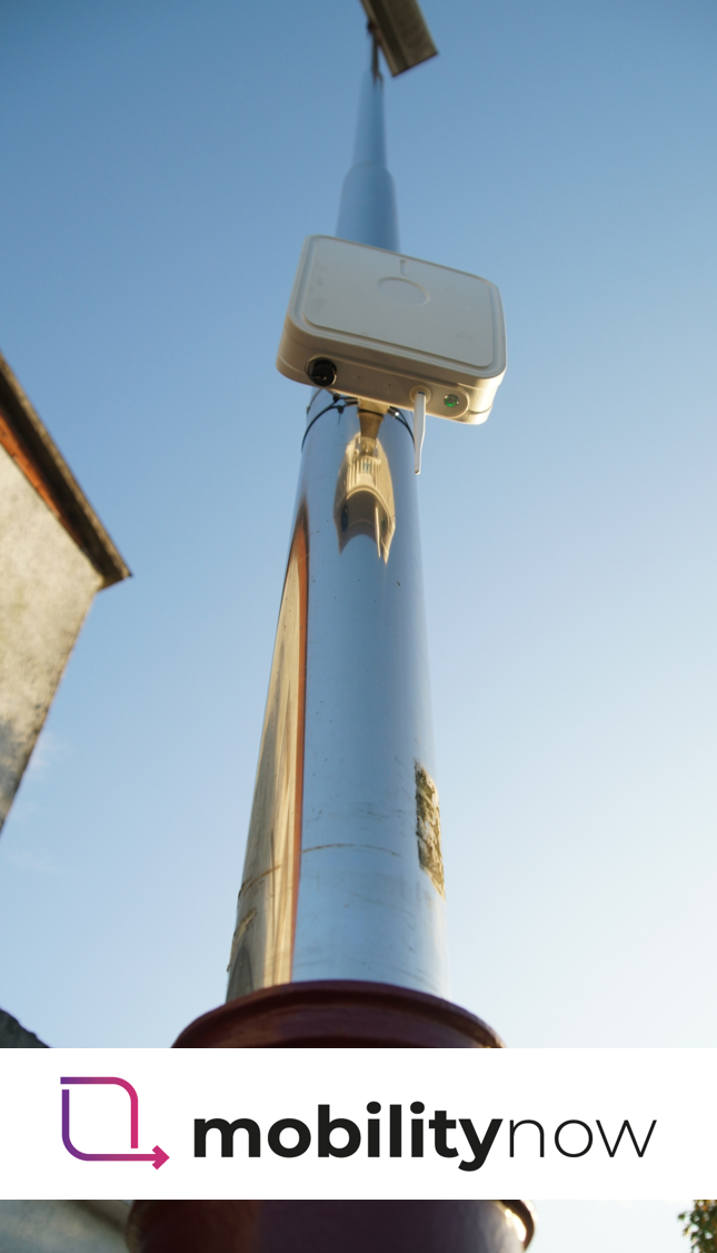
 Autonomous cable-free designfor temporary installationsOne week autonomy fortemporary installations